
This GeoPackage is made available under the CC-0 license.
Built as a starting point for any new project with ready made project and layers settings and easy to use tools and functions for advanced analysis:
** Enabling of macros is needed for tools to work
** DEM Layer of the area is also needed for most tools to function
Virtual layers- draft&tools:
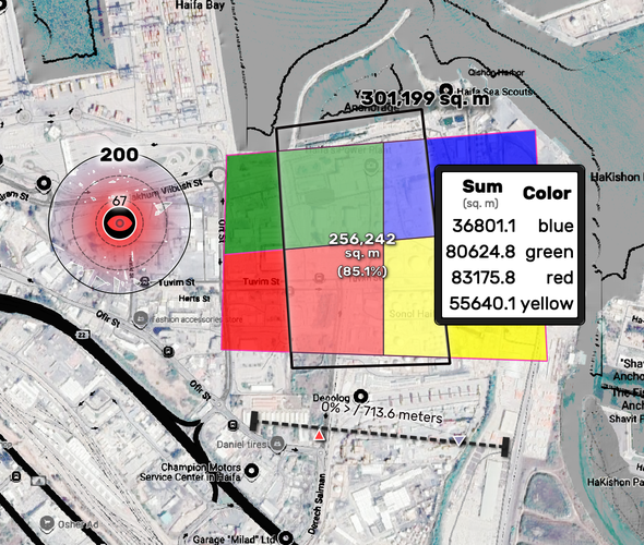
Use the Point, Line and Poly layer for drafts or on-the-fly analysis tools
mapTip and Layouts:
This project was made to share tools which were the most useful for me when working on my projects.
For better management of updates and versions to come I've started this github you're welcome to follow
For any questions, bug reports and any comment or improvements suggestion, please write me at
Erez.sg@gmail.com.
Hi. I don't know if it is a great idea to share project Python macros and models. But I'm sure you will need to remove hardcoded values from them, like '/Users/erezsarig/Downloads/444.tiff' in a macro function, or 'NASA_DEM_Elevation_7eecdb8e_f042_4843_b3c9_08abf91b8c41' in a model algorithm. There are also "dxf" and "startPoint" layers broken references in the layers tree, and unavailable arcgis tiles server. Please remove __MACOSX subdirectory from ZIP file.
Reviewed by gabrieldeluca 1 year, 4 months ago
Thank you very much!
Reviewed by gabrieldeluca 1 year, 4 months ago
Thank you!
Reviewed by gabrieldeluca 1 year, 4 months ago

This GeoPackage is made available under the CC-0 license.

Flagship membership

Flagship membership

Large membership

Large membership

Large membership

Large membership

Large membership

Large membership

Large membership

Large membership

Large membership

Large membership


