
This GeoPackage is made available under the CC-0 license.
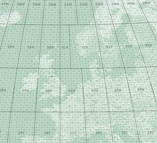
This package includes a project with project processing models that help you generate MGRS grids for any location on the planet.
It also includes some layouts as example of what you can do with the generated data.
It is required that you download and install the "Lat Lon Tools" plugin for it to work.
See project Metadata for more information.
There is a YouTube video (https://youtu.be/qlOx_E-odg8) that goes into more detail about this project.
Sorry for the delay in publishing Klas! Let me know if you want admin rights here and you can self-approve anything you publish.
Reviewed by timlinux 5 years, 2 months ago

This GeoPackage is made available under the CC-0 license.

Flagship membership

Flagship membership

Large membership

Large membership

Large membership

Large membership

Large membership

Large membership

Large membership

Large membership

Large membership

Large membership


