
Layer Definition File
Layer Definition Tags
All Layer Definition Files
ℹ️
The QGIS Layer Definition (QLR) format makes it possible to share “complete” QGIS layers with other QGIS users. QLR files contain links to the data sources and all the QGIS style information necessary to style the layer.
7 records found.
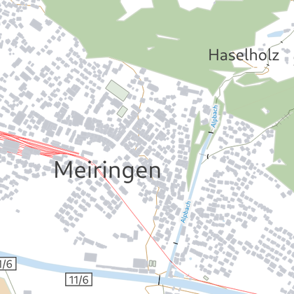
swisstopo Vector Tiles
by Kuhn, 03 January 2022
The Light Base Map is a background map to provide a foreground theme with optimal …
Updated on 28 May 2024
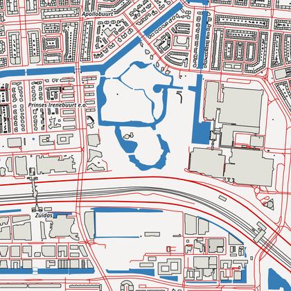
OpenStreetMap MVT - simple example
by Klas Karlsson, 28 December 2024
A simple example of how to add and style OSM vector tiles from online sources. …
Updated on 29 December 2024
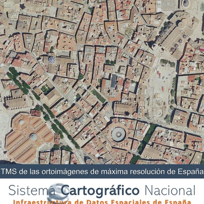
Tile Map Service (TMS) of the most updated orthophotos from Spain's PNOA project. (Sentinel 2 y PNOA MA)
by Spain, 16 July 2025
View service (Tile Map Service, TMS) of the most updated orthophotos of the PNOA Project …
Updated on 22 October 2025
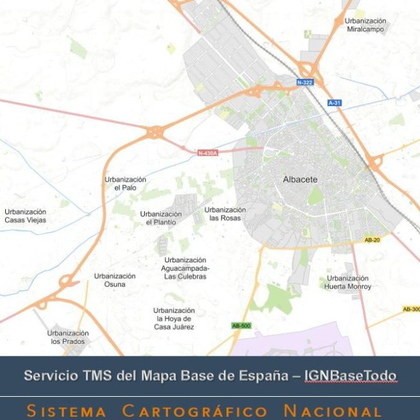
Tile Map Service (TMS) of the Base Map of Spain
by Spain, 16 July 2025
View service (Tile Map Service, TMS) of the cartographic representation worldwide. The geographic information comes …
Updated on 22 October 2025

Vector Tiles Service, MVT of Adminsitrative Units of Spain.
by Spain, 16 July 2025
View service (Vector Tiles Service, MVT) of Adminsitrative Units of Spain shows municipal, provincial and …
Updated on 22 October 2025
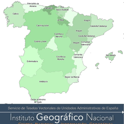
Vector Tiles Service, MVT of Adminsitrative Units of Spain. Green style
by Spain, 20 October 2025
View service (Vector Tiles Service, MVT) of Adminsitrative Units of Spain shows municipal, provincial and …
Updated on 22 October 2025
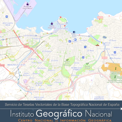
View service (Vector Tiles Service, MVT) of National Topographic Base of Spain.
by Spain, 26 January 2026
View service (Vector Tiles Service, MVT) of National Topographic Base of Spain. Multiscale three-dimensional database …
Updated on 27 January 2026
| Name | Creator | Upload Date | |||
|---|---|---|---|---|---|

|
swisstopo Vector Tiles | 3,558 | Kuhn | 03 Jan. 2022 | |

|
OpenStreetMap MVT - simple example | 1,967 | Klas Karlsson | 28 Dec. 2024 | |

|
Tile Map Service (TMS) of the most updated orthophotos from Spain's PNOA project. (Sentinel 2 y PNOA MA) | 331 | Spain | 16 Jul. 2025 | |

|
Tile Map Service (TMS) of the Base Map of Spain | 256 | Spain | 16 Jul. 2025 | |

|
Vector Tiles Service, MVT of Adminsitrative Units of Spain. | 307 | Spain | 16 Jul. 2025 | |

|
Vector Tiles Service, MVT of Adminsitrative Units of Spain. Green style | 185 | Spain | 20 Oct. 2025 | |

|
View service (Vector Tiles Service, MVT) of National Topographic Base of Spain. | 101 | Spain | 26 Jan. 2026 |


