
Layer Definition File
swisstopo Vector Tiles
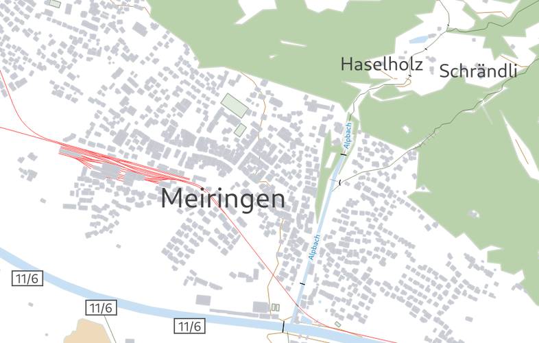
The Light Base Map is a background map to provide a foreground theme with optimal spatial orientation. The graphic design of this web map, based on vector tiles technology, is therefore unobtrusive with reduced content. Due to the applied visualisation technology, the map can be integrated into your own website unchanged or after individual adaptation. The Light Base Map is based on official data: the topographic landscape model, the digital elevation model, the digital cartographic models and the official road directory. Thanks to the additional data integration of OpenStreetMap for foreign countries and the "Web Mercator" global projection system, worldwide coverage is guaranteed.
03 January 2022
03 January 2022
28 May 2024
Kuhn
None
Thanks @matthias!
Reviewed by timlinux 4 years, 3 months ago
timlinux approved these changes 4 years, 3 months ago
Terms of use: the map and the geoservice that provides it may be used in accordance with swisstopo's Terms of Use for Free Geodata and Geoservices (OGD) and the General Terms of Use and Operating Conditions of the Federal Spatial Data Infrastructure FSDI.
https://www.swisstopo.admin.ch/en/home/meta/conditions/geodata/ogd.html
http://www.geo.admin.ch/terms-of-use


