
This Map is made available under the CC-0 license.
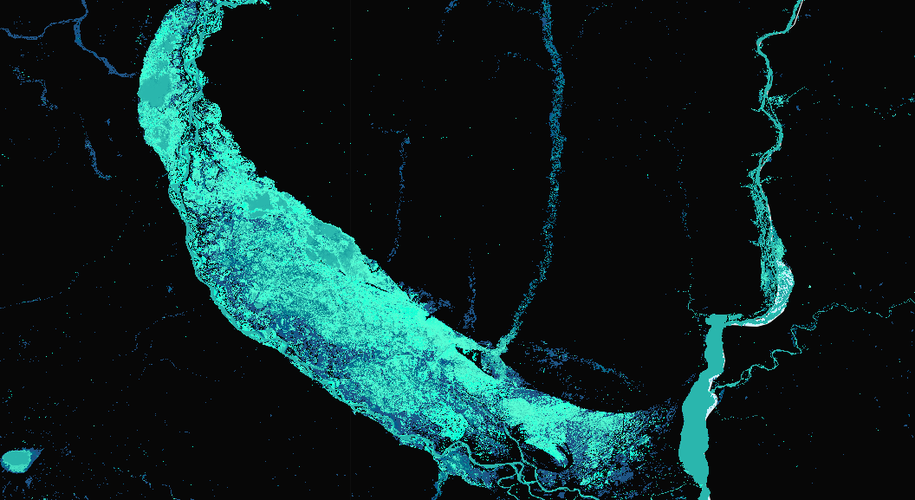
This is a map of water presence in a time period made using a Free Dataset. Once loaded on QGIS, the software was used to define a style that shows the most recent changes on clearer blueish tones and the later ones in darks.
The dataset used is avaliable on https://global-surface-water.appspot.com/download
Hi thank you for this, it is beautiful! Could you edit your description to make it clearer. Also note QGIS is written in all caps. If possible please add a 'Made in QGIS' badge to the image.
Reviewed by timlinux 1 year ago
Thanks for the edit. Nice map!
Reviewed by gabrieldeluca 1 year ago

This Map is made available under the CC-0 license.

Flagship membership

Flagship membership

Large membership

Large membership

Large membership

Large membership

Large membership

Large membership

Large membership

Large membership

Large membership

Large membership


