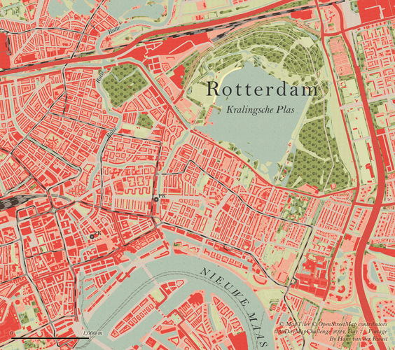
This Map is made available under the CC-0 license.

To create the map, I've used the TopoTijdReis plugin in QGIS to explore some beautiful historic maps. I then sampled fill and line colours and patterns from a topographic map of 1948. Using the OpenStreetMap vector tile from MapTiler via the MapTiler plugin, I adjusted the colours of features with the samples using Symbol layer types Raster Image Fill, Raster Line and Raster Image Marker. Because a vector tile layer was used, I can create this map style for any place on earth with enough OpenStreetMap data! The TopoTijdReis plugin is an amazing tool that lets you travel through time with historic topographic maps of the Netherlands in QGIS!
Beautiful, thanks Hans!
Reviewed by timlinux 10 months, 4 weeks ago

This Map is made available under the CC-0 license.