This Map is made available under the CC-0 license.
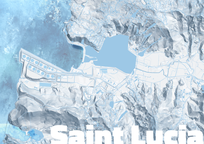
A monochrome map of the area around Castries, Saint Lucia. The map was made in QGIS and includes data from diverse sources including OpenStreetmap and contributors, the Government of Saint Lucia and data generated for the purposes of creating the map.
Please hold before accepting
Reviewed by timlinux 1 year, 4 months ago
Lgtm
Reviewed by timlinux 1 year, 4 months ago

This Map is made available under the CC-0 license.

Flagship membership

Flagship membership

Flagship membership

Large membership

Large membership

Large membership

Large membership

Large membership

Large membership

Large membership

Large membership

Large membership