
This Map is made available under the CC-0 license.
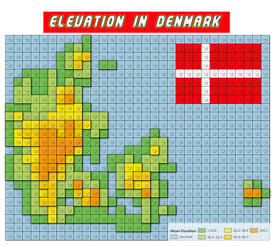
A map produced for the 2021 #30DayMapChallenge using QGIS to mimic a lego brick style with mean elevation values taken from a digital elevation model. I used class level drop shadows to emphasize the elevation between brick classes and a lego-y font.
Hi Kurt, great, thank you!
Reviewed by gabrieldeluca 1 year ago

This Map is made available under the CC-0 license.

Flagship membership

Flagship membership

Large membership

Large membership

Large membership

Large membership

Large membership

Large membership

Large membership

Large membership

Large membership

Large membership


