This Map is made available under the CC-0 license.
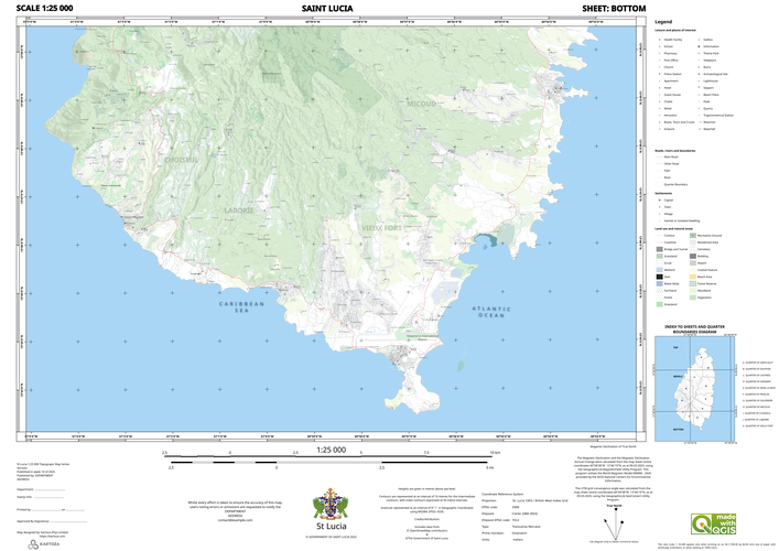
A topographical map of Saint Lucia. Uses data from the Government of Saint Lucia, Open Street Map. Hill shade and elevation datasets were generated from the contours by Kartoza. Map design and cartography by Kartoza. Shared with permission from Marcathian Alexander. This map has been edited for publishing in the QGIS gallery and does not represent an official cartographic product of the Government of Saint Lucia.
LGTM
Reviewed by timlinux 1 year, 4 months ago

This Map is made available under the CC-0 license.

Flagship membership

Flagship membership

Flagship membership

Large membership

Large membership

Large membership

Large membership

Large membership

Large membership

Large membership

Large membership

Large membership