
This Map is made available under the CC-0 license.
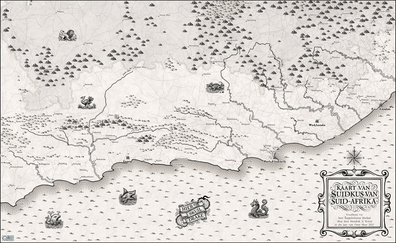
This map was created with QGIS using a variety of cartographic and procedural techniques to recreate historical mapmaking aesthetics. Most features have been downloaded as raw OSM data, whereas DEM data was filtered and polygonized for escarpment, hilly and mountainous areas. Custom SVG markers that resemble antique map symbology scattered inside designated areas, whose filepaths were dynamically constructed through data-defined expressions combining attribute values with filenames.
Great job, very nice map!
Reviewed by gabrieldeluca 3 months, 3 weeks ago

This Map is made available under the CC-0 license.

Flagship membership

Flagship membership

Large membership

Large membership

Large membership

Large membership

Large membership

Large membership

Large membership

Large membership

Large membership

Large membership


