This Map is made available under the CC-0 license.
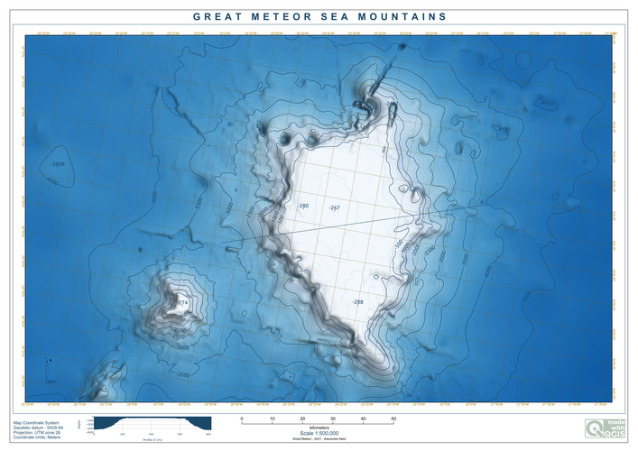
Map of the Great Meteor, a Sea Mountain with ~4000m high, nearby the Azores Island. The Layout template is from the Layout Loader Plugin
The major exercise of this map was the ability to put bathymetic contours labels following a line from an helper layer called labels, instead of randomly place along the contours.
This was the expression used on the labels placement geometry generator.
coalesce(
aggregate(
    'labels', -- layer
    'collect', -- aggregate type
    intersection(
        buffer($geometry,3000),
        geometry(@parent)
    ), -- Expression
    intersects(
        $geometry,
        geometry(@parent)
    ) -- Filter
),
$geometry
)
Data: GEBCO (https://www.gebco.net/data_and_products/gridded_bathymetry_data/)
Stunning, thank you!
Reviewed by timlinux 1 year, 3 months ago

This Map is made available under the CC-0 license.

Flagship membership

Flagship membership

Flagship membership

Large membership

Large membership

Large membership

Large membership

Large membership

Large membership

Large membership

Large membership

Large membership