
This Model is made available under the CC-0 license.
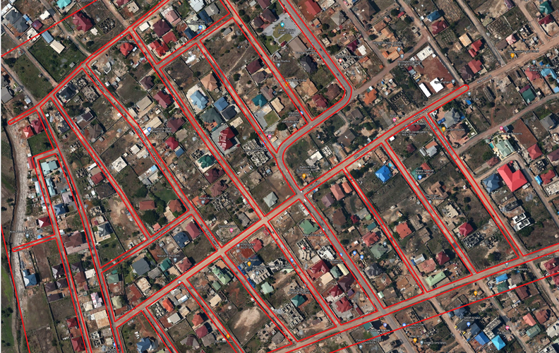
The purpose of the model is to assist physical and spatial planners to develop spatial digitized frameworks for the design and development of parcel maps for cities/ settlements. The model incorporates relevant geoprocessing tools in analyzing input data to create parcel blocks and road reservations which act as a framework for the internal design and definition of land uses and boundaries.
Hi I tried to test here with a simple roads dataset. Could you annotate your model with comments explaining how the input data should be structured? Thanks Tim
Reviewed by timlinux 3 years, 11 months ago
Hi. Ok I was able to run it now - your comments helped a lot, thanks! Great model by the way!
Reviewed by timlinux 3 years, 11 months ago
Hello, thank you for re-uploading the model.
Reviewed by lova 2 years, 1 month ago
Hi, the Variable distance buffer algorithm doesn't take the Distance buffer value from Buffer field input parameter, but it is hardcoded as Width_M field. So it fails with any other name to store the variable radius value. Also, Area of interest vector layer input parameter must be of Polygon geometry type, or it will fail to perform the Difference against a non-geometry table or give strange results with lines or points area of interest layers.
Reviewed by gabrieldeluca 2 years ago
I can't find any differences between this version and the one previously uploaded, so I copy the latest review verbatim. "Hi, the Variable distance buffer algorithm doesn't take the Distance buffer value from Buffer field input parameter, but it is hardcoded as Width_M field. So it fails with any other name to store the variable radius value. Also, Area of interest vector layer input parameter must be of Polygon geometry type, or it will fail to perform the Difference against a non-geometry table or give strange results with lines or points area of interest layers."
Reviewed by gabrieldeluca 2 years ago
Resolved the use of the Buffer Field entry in the Variable distance buffer algorithm. Thank you.
Reviewed by gabrieldeluca 2 years ago

This Model is made available under the CC-0 license.

Flagship membership

Flagship membership

Large membership

Large membership

Large membership

Large membership

Large membership

Large membership

Large membership

Large membership

Large membership

Large membership


