
This Model is made available under the CC-0 license.
Create a scatter plot of two raster layers.
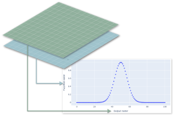
The model extracts raster values of two input raster layers for an user-defined number of random point locations and plots them in an scatterplot. The random points are created within the intersection of the two raster layers. For suggestions: https://github.com/ecodiv/QGISmodels/tree/main/raster_scatterplot
Nice model. It works as it should and it's well documented with help text and comments in the model. Thanks!
Reviewed by hansakwast 1 year ago

This Model is made available under the CC-0 license.

Flagship membership

Flagship membership

Large membership

Large membership

Large membership

Large membership

Large membership

Large membership

Large membership

Large membership

Large membership

Large membership


