
Model
Model Tags
All Models
ℹ️
QGIS models are a set of processing algorithms that can be run in a sequence to automate a task.
30 records found.
Antipode from click
by V, 11 January 2023
Calculates the antipode, opposite point on earth, for any location selected by click
Updated on 29 May 2024
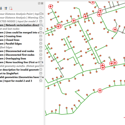
Fix Directional Network
by Cadieux, 10 March 2023
Is your directional linear network driving you crazy? These 3 interdependent models will help you …
Updated on 30 May 2024
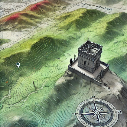
Viewshed and viewpoint (vector output)
by Asj, 03 October 2024
This model automates viewshed analysis in QGIS, converting raster output to vector polygons. GDAL is …
Updated on 25 February 2025
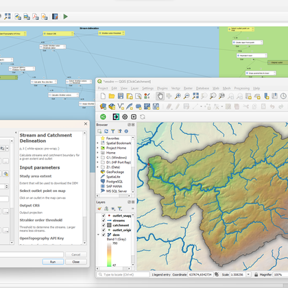
Stream and catchment delineation
by Hans Kwast, 01 December 2024
Calculate streams and catchment boundary for a given extent and outlet. The model will automatically …
Updated on 03 December 2024
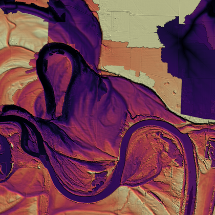
Height Above Nearest Drainage (HAND)
by Hans Kwast, 01 December 2024
Create relative digital elevation models (REMs) using the Height Above Nearest Drainage (HAND) algorithm. Inputs …
Updated on 03 December 2024
Watershed Generator 3.0
by Abdou Sene, 05 January 2025
This plugin automate the delineation of watershed and channel networks with the fewest and simplest …
Updated on 13 January 2025
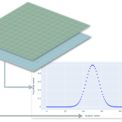
Raster scatter plot function
by Paulo van Breugel, 22 March 2025
Create a scatter plot of two raster layers. The model extracts raster values of two …
Updated on 23 March 2025
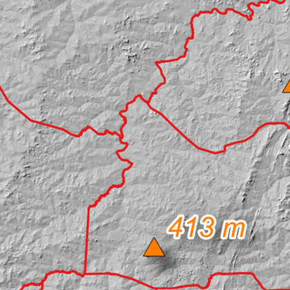
Highest points
by Dotou, 15 June 2025
This algorithm is used to generate, from a digital elevation model (DEM) and the boundaries …
Updated on 16 June 2025
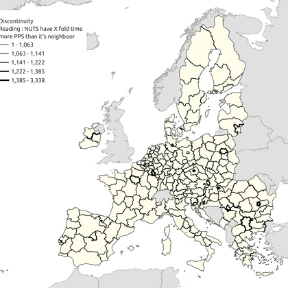
Discontinuity
by ValentinB, 20 October 2025
Discontinuity maps highlight the limits (or "boundaries") between the entities studied, by assigning them a …
Updated on 22 October 2025
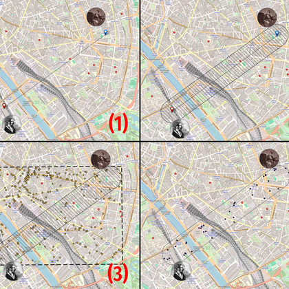
Plan a date
by ValentinB, 03 February 2026
This algorithm help you find all the cafes and bars between two positions using OSM …
Updated on 18 February 2026
| Name | Creator | Upload Date | |||
|---|---|---|---|---|---|
|
|
Antipode from click | 222 | V | 11 Jan. 2023 | |

|
Fix Directional Network | 2,180 | Cadieux | 10 Mar. 2023 | |

|
Viewshed and viewpoint (vector output) | 2,170 | Asj | 03 Oct. 2024 | |

|
Stream and catchment delineation | 2,493 | Hans Kwast | 01 Dec. 2024 | |

|
Height Above Nearest Drainage (HAND) | 1,971 | Hans Kwast | 01 Dec. 2024 | |

|
Watershed Generator 3.0 | 3,015 | Abdou Sene | 05 Jan. 2025 | |

|
Raster scatter plot function | 641 | Paulo Van Breugel | 22 Mar. 2025 | |
|
|
Highest points | 646 | Dotou | 15 Jun. 2025 | |

|
Discontinuity | 352 | Valentinb | 20 Oct. 2025 | |

|
Plan a date | 232 | Valentinb | 03 Feb. 2026 |


