
Model
Model Tags
Model tagged with: hydrology_1
ℹ️
QGIS models are a set of processing algorithms that can be run in a sequence to automate a task.
4 records found.
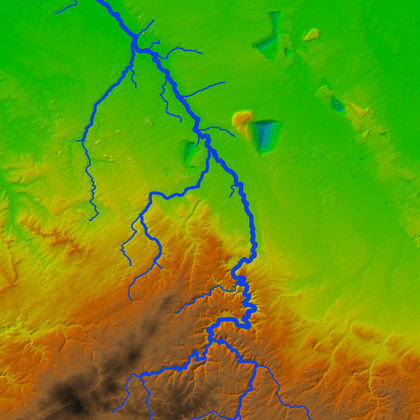
Stream delineation
by Hans Kwast, 20 July 2021
Creates a filled DEM from DEM tiles, clipped and reprojected to the bounding box polygon. …
Updated on 15 December 2024
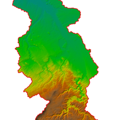
Catchment Delineation
by Hans Kwast, 24 July 2021
Delineates the catchment for specified coordinates of an outlet and clips the DEM to the …
Updated on 15 December 2024
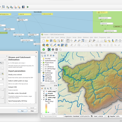
Stream and catchment delineation
by Hans Kwast, 01 December 2024
Calculate streams and catchment boundary for a given extent and outlet. The model will automatically …
Updated on 03 December 2024
Watershed Generator 3.0
by Abdou, 05 January 2025
This plugin automate the delineation of watershed and channel networks with the fewest and simplest …
Updated on 13 January 2025
| Name | Creator | Upload Date | |||
|---|---|---|---|---|---|

|
Stream delineation | 2,660 | Hans Kwast | 20 Jul. 2021 | |

|
Catchment Delineation | 2,936 | Hans Kwast | 24 Jul. 2021 | |

|
Stream and catchment delineation | 2,253 | Hans Kwast | 01 Dec. 2024 | |

|
Watershed Generator 3.0 | 2,701 | Abdou | 05 Jan. 2025 |


