This Screenshot is made available under the CC-0 license.
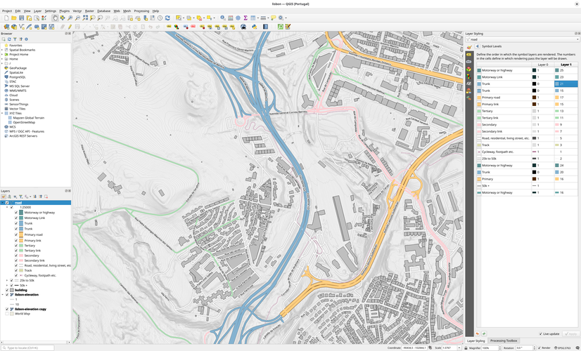
A simple example of QGIS displaying elevation data rendered as contours and OpenStreetMap data. The Terrain data was downloaded using the DGT CDD Downloader plugin, and the OSM data was added to QGIS using the Quick OSM plugin. OpenStreetMap data from OpenStreetMap contributors, available under the Open Database License (ODbL).
Self approved to test out the screenshot tool.
Reviewed by timlinux 1 year ago

This Screenshot is made available under the CC-0 license.

Flagship membership

Flagship membership

Flagship membership

Large membership

Large membership

Large membership

Large membership

Large membership

Large membership

Large membership

Large membership

Large membership